1
/
de
2
Victoria Cooper Antique Prints
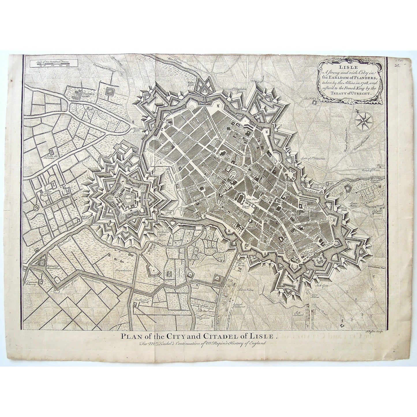
Lisle. A Strong and rich City in the Earldom of Flanders, taken from the Allies in 1708, and restor'd to the French King by the Treaty of Utrecht. (S3-Q-56)
Lisle. A Strong and rich City in the Earldom of Flanders, taken from the Allies in 1708, and restor'd to the French King by the Treaty of Utrecht. (S3-Q-56)
Prix habituel
$250.00 USD
Prix habituel
Prix promotionnel
$250.00 USD
Quantité
Impossible de charger la disponibilité du service de retrait
Lisle. A Strong and rich City in the Earldom of Flanders, taken from the Allies in 1708, and restor'd to the French King by the Treaty of Utrecht.
Lower Center: Plan of the City and Citadel of Lisle. For Mr. Tindal's Continuation of Mr. Rapin's History of England. Lower Right: J. Basire Sculp.
Author: Paul Rapin de Thoyras / Nicholas Tindal
Source / Publication: Mr. Tindal's Continuation of Mr. Rapin's History of England
Place of Publication: London
Date: ca. 1744
Engraver: J. Basire
Paper Dimensions: 15 5/8 x 20 3/4 inches.
Platemark Dimensions: 15 1/8 x 19 5/8 inches.
Medium: Copperplate engraving
Language: English
Coloured: Black and white
Condition: The map is in great condition with some minor wear around the edges, including a tightly cropped top, and you can see where the paper had been folded over on the right, that the ink from the title has marked the right side of the map, very faintly.
Keywords: Plan of the City, Plan, City Plan, City of Lisle, Lisle, Citadel, Citadel of Lisle, Lisle Citadel, Mr. Tindal's Continuation of Mr. Rapin's History of England, Mr. Tindal, Mr. Rapin, History of England, J. Basire, Basire, Earldom of Flanders, Flanders, 1708, Taken by the allies, restored to the French King, Treaty of Utrecht, Lime-Kilns, Bon Air Castle, Gate of St. Maurice, Fives Gate, Tournay Road, Suburb of Fives, Sick Suburb, Road of Bassee, Wazennes, Gate of Notre Dame, Castle of St. Mark, Esplanade, St. Andrew's Gate, Sense de l'evêque, St. Mark's Castle, Sluice, Gate of Aids, l'Espinette Bravery, Redoubt of Chantilleux, Riv. Deulle, Magdalen Gate, Water Gate, Douchin Castle, Deulle River, Map, Maps, Mapping, City map, Map of Lisle,
Price: US$250
Identification Number: S3-Q-56
Share


