Collection: Charts
-
Carte des Bayes, Rades et Port de Plaisance dans l'Isle de Terre Neuve. Dressée sur les Manuscrits du Dépôt des Cartes, Plans, et Journaux de la Marine. Par N.B. Ingénieur du Roy et de la Marine, 1744. (S3-65a)
Prix habituel $325.00 USDPrix habituelPrix unitaire / par -
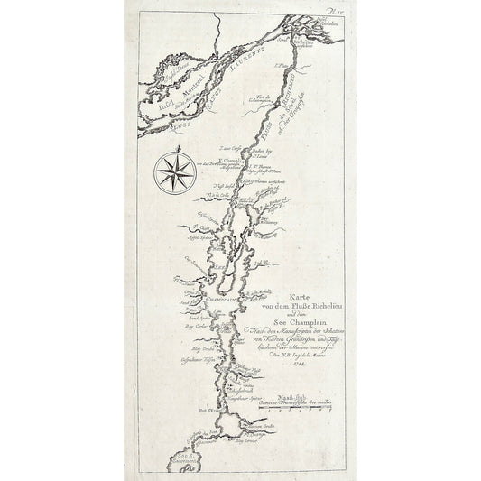
Karte von dem Flusse Richelieu und dem See Champlain, Nach den Manuscripten des Schatzes von Karten Grundriven und Tage büchern der Marime entworfen. Von N.B. Ingr. de la Marine 1744. (S3-64)
Prix habituel $325.00 USDPrix habituelPrix unitaire / par -
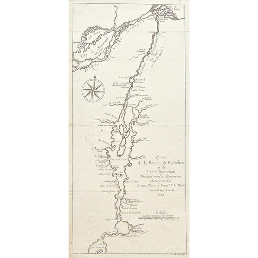
Carte de la Rivière de Richelieu et du Lac Champlain, Dressée sur les Manuscrits du Dépost des Cartes, Plans, et Journx. de la Marine. Par N.B. Ingr. de la M. 1744. (S3-63)
Prix habituel $350.00 USDPrix habituelPrix unitaire / par -
Carte de la Baye de Hudson. Par N. Bellin Ingenieur de la Marine. 1744. (S3-62b)
Prix habituel $400.00 USDPrix habituelPrix unitaire / par -
Carte de la Baye de Hudson. Par N. Bellin Ingenieur de la Marine. 1744. (S3-62a)
Prix habituel $325.00 USDPrix habituelPrix unitaire / par -
Plan Du Port de la Haive Suite a la Cote D'Accadie. Par N.B.Ing. de la M. 1744. (S3-61)
Prix habituel $300.00 USDPrix habituelPrix unitaire / par -
Plan du Port Dauphin et de sa Rade avec l'Entrée de Labrador. Par N.B.Ing. au D. de la M. 1744. (S3-60)
Prix habituel $325.00 USDPrix habituelPrix unitaire / par -
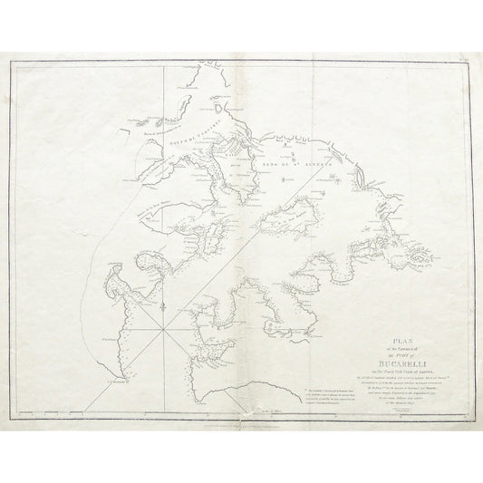
Plan of the Entrance of the Port of Bucarelli on the North West Coast of America, in 55'.15' of Latitude North & 136'.15' of Longitude West of Paris: Discovered in 1775 by the Spanish Schooner La Senora ... (S3-89)
Prix habituel $400.00 USDPrix habituelPrix unitaire / par -
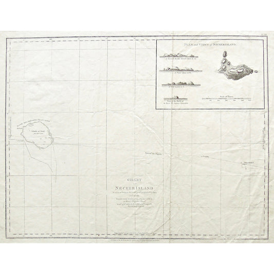
Chart of Necker Island in 23'.34' of Latitude N. & 166'.52 of Longitude W. of Paris and of the Basses des Frégates Francaises or French Frigates Shoal, in 23'.45' of Latitude N. & 168'.10' of Longitude. Discovered in November 1786. (S3-88)
Prix habituel $325.00 USDPrix habituelPrix unitaire / par -
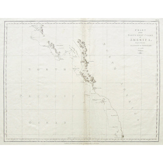
Chart of the North west Coast of America, Explored by the Boussole & Astrolabe in 1786. 2d. Sheet. Neele Sc. Strand. (S3-87)
Prix habituel $325.00 USDPrix habituelPrix unitaire / par -
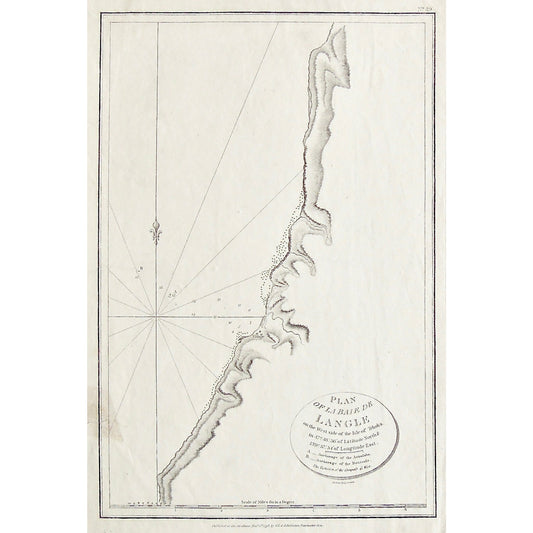
Plan of La Baie de Langle on the West side of the Isle of Tchoka, in 47.48.36. of Latitude North & 139.57.54. of Longitude East. A. _ Anchorage of the Astrolabe. B. _ Anchorage of the Boussole. The Variation of the Compass 41' West. (S3-86)
Prix habituel $185.00 USDPrix habituelPrix unitaire / par -
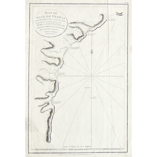
Plan of Baie de Ternai Situate on the Coast of Tartary in 45.13.00. of Latitude North and 135.09.00. of Longitude East. (S3-85)
Prix habituel $185.00 USDPrix habituelPrix unitaire / par -
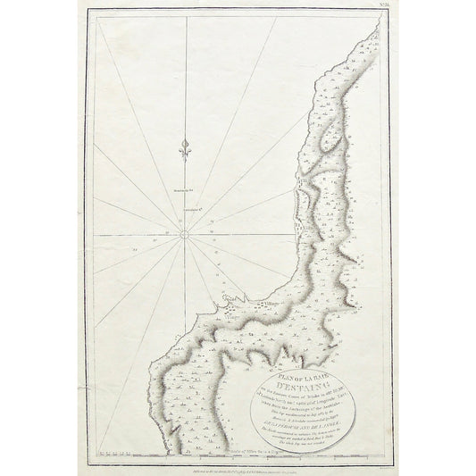
Plan of La Baie d'Estaing on the Eastern Coast of Tchoka in 48. 59' 38". Of Latitude North and 140.0'42" of Longitude East taken from the Anchorage of the Astrolabe. ... (S3-83)
Prix habituel $185.00 USDPrix habituelPrix unitaire / par -
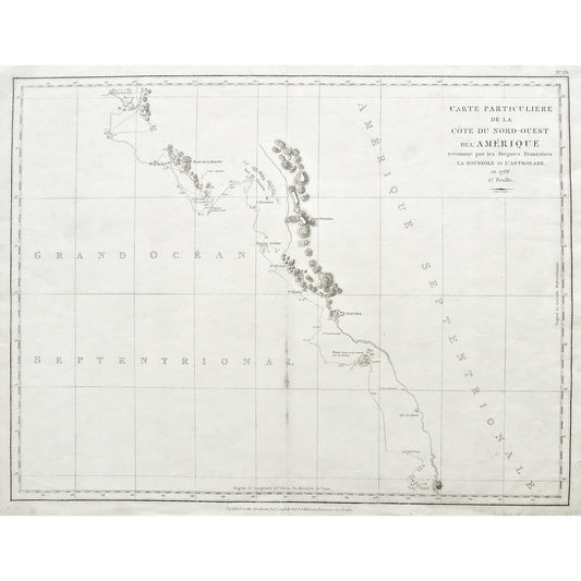
Carte particuliere de la Côte du Nord-Ouest de l'Amérique reconnue par les Frégates Françaises la Boussole et l'Astrolabe en 1786. 2e Feuille. (S3-82)
Prix habituel $425.00 USDPrix habituelPrix unitaire / par -
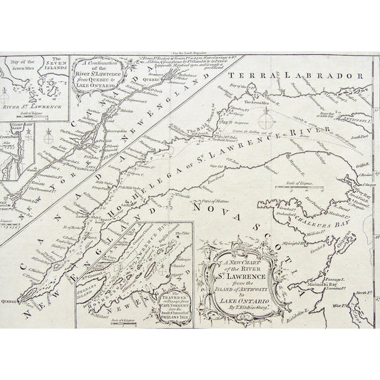
A New Chart of the River St. Lawrence from the Island of Anticosti to Lake Ontario. By Thos. Kitchin Geogr. (S3-49b)
Prix habituel $120.00 USDPrix habituelPrix unitaire / par -
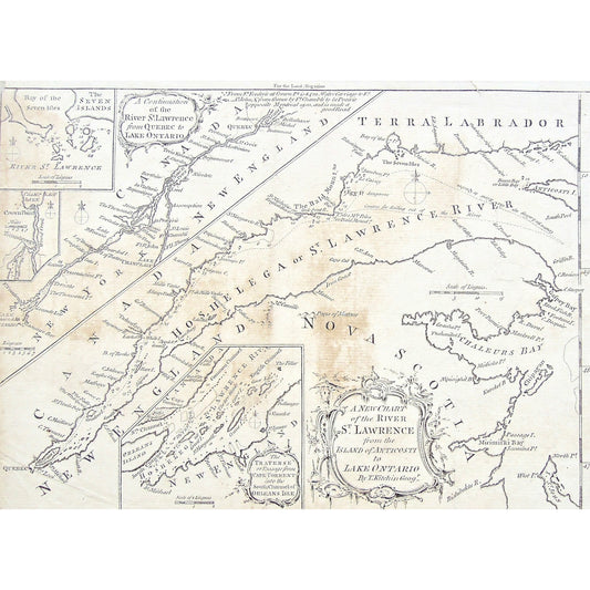
A New Chart of the River St. Lawrence from the Island of Anticosti to Lake Ontario. By Thos. Kitchin Geogr. (S3-49a)
Prix habituel $90.00 USDPrix habituelPrix unitaire / par

