NaN
/
of
-Infinity
Victoria Cooper Antique Prints
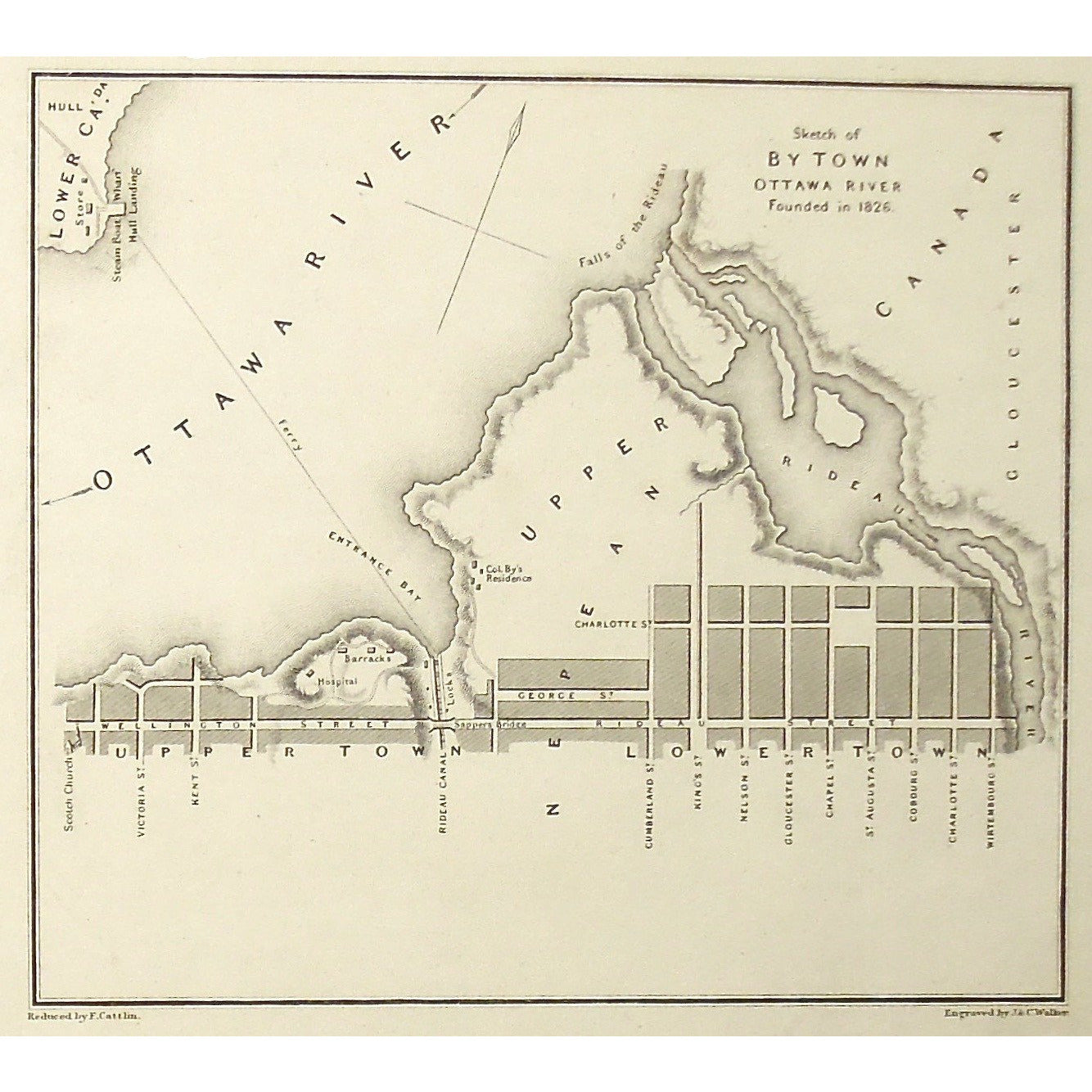
Sketch of By Town Ottawa River Founded in 1826. (S3-31)
Sketch of By Town Ottawa River Founded in 1826. (S3-31)
Regular price
$285.00 USD
Regular price
Sale price
$285.00 USD
Unit price
/
per
Couldn't load pickup availability
Sketch of By Town Ottawa River Founded in 1826.
Lower Left: Reduced by F.Cattlin. Lower Right: Engraved by J. & C. Walker.
Author: Joseph Bouchette Esq. (1774-1841)
Source / Publication: The British Dominions in North America; or a Topographical and Statistical Description of the Provinces of Lower and Upper Canada, New Brunswick, Nova Scotia, The Island of Newfoundland, Prince Edward, and Cape Breton, including considerations of Land-granting and Emigration, and a Topographical Dictionary of Lower Canada; to which are annexed, the Statistical Tables and Tables of Distances, published, with the Author's Topographical Maps of Lower Canada, in consequence of a Vote of the Provincial Legislature.
Publisher: Longman, Rees, Orme, Brown, and Green
Place of Publication: Paternoster Row, London
Date: 1831
Date (Depicted): 1826
Engraver: J. & C. Walker, Reduced by F. Cattlin.
Paper Dimensions: 8 1/4 x 10 7/8 inches.
Medium: Steel engraving
Language: English
Coloured: Black and White
Condition: The print is in good condition with some damage around the edges of the print, as can be seen.
Keywords: Ottawa, River, Ottawa River, Nepean, Upper Canada, Lower Canada, Rideau, Rideau River, Wellington Street, Rideau Street, Ontario, Bouchette, Jos. Bouchette, Joseph Bouchette, Cattlin, Walker, British Dominions in North America,
Price: US$285
Identification Number: S3-31


